Two wildfires in West Pioneers double in size
Both the Bobcat Lakes Fire and the Sand Creek Fire roughly doubled in size from Sunday to Monday. A cause had not been determined for either fire, which firefighters believe started July 31.
Both the Bobcat Lakes fire and the Sand Creek fire roughly doubled in size from Sunday to Monday, according to a report from the Beaverhead-Deerlodge National Forest.
The Bobcat Lakes fire, which is about 12 miles east of Wisdom, was estimated Monday to be 1,561 acres, up from an estimate of 755 acres Sunday. The Sand Creek fire, roughly 7 miles east of Wisdom, reached an estimated 1,000 acres, up from an estimated 450 acres.
A cause has not been determined for either fire, which firefighters believe started July 31.
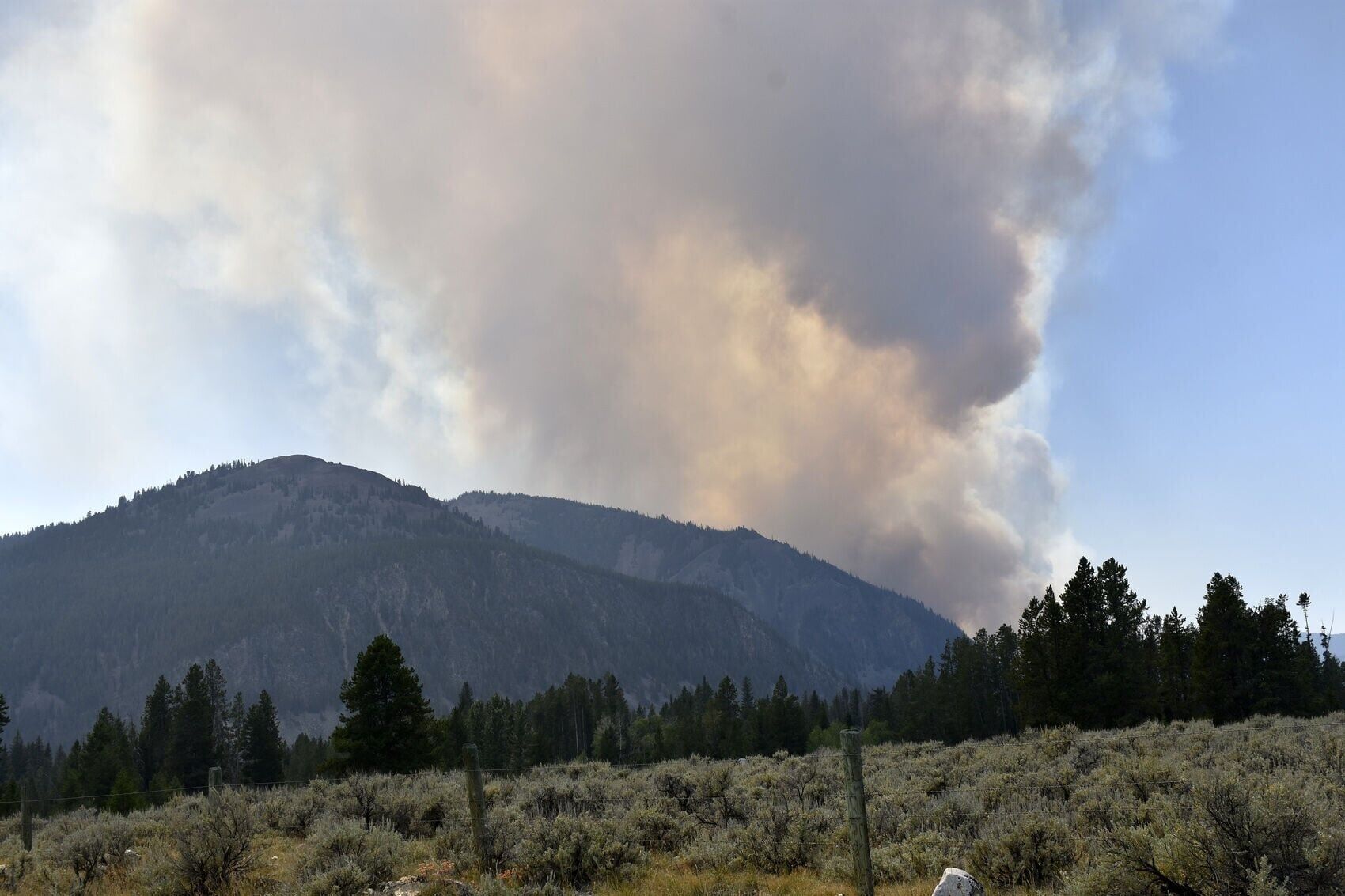
Smoke from the Bobcat Lakes Fire as seen Sunday from the Pioneer Mountains Scenic Byway.
The Bobcat Lakes Fire had 83 personnel on the fire. The total number of personnel on the Sand Creek Fire wasn't clear at press time.
“On the Bobcat Lakes Fire, Red Flag conditions created extreme fire behavior yesterday,” the Forest Service said. “Active fire growth with west to northwest winds continue. An infrared flight mapped the fire at 1,561 acres.”
A Red Flag warning means warm temperatures, low relative humidity, and stronger winds are expected to combine to produce an increased risk of fire danger, according to the National Weather Service.
“Fire behavior remains active to the north and east into Lambrecht Creek, with spotting, running, torching, crowning and short-range spotting,” the Forest Service said. “One Unmanned Aircraft System module is on order to help with mapping of fire perimeters. Structure protection work will continue around Jerked Prairie [a private inholding] and crews will work to find any unchecked fire edges. Firefighters’ structure assessments and preparation are ongoing along Pattengill Road.”
On the Sand Creek fire, Sunday’s reconnaissance flight estimated the fire at 1,000 acres. Active fire growth progressed south due to north winds. The fire had minimal activity on the north edge, as the fire ran into the west flank of the 2011 Stewart fire.
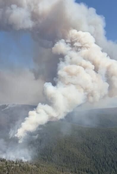
An aerial shot of the Sand Creek Fire in the West Pioneers taken Sunday by a reconnaissance flight.
“Fire personnel continue scouting for containment opportunities and control features off of Steel Fox Road,” the Forest Service said. “Heavy equipment and additional resources are on order. Structure protection development plans continue towards the Odell [radio repeater].”
North of the fire, the Beaverhead-Deerlodge National Forest is closing Forest Service Road 2433, the two-track road up to Stewart Meadows, until further notice.
The Forest Service confirmed that a fire camp is being established at the Wise River Airport that will serve both the Bobcat Lakes fire and the Sand Creek fire for a time.
Meanwhile, the Moose fire, burning 24 miles southwest of Philipsburg, was estimated to be 594 acres, up from 306 acres.
Personnel on the lightning-caused fire, burning since July 26, totaled 79.
The Beaverhead-Deerlodge National Forest is Montana's largest national forest by acreage, with more than 3.4 million acres.
Heavy equipment arrived Sunday, “and crews will begin improving the shaded fuel break and dozer lines along Ross Fork Road today,” the Forest Service said.
“Fire managers conducted an aerial reconnaissance of the fire perimeter and were able to update acreage following the weekend’s fire weather watch conditions,” the agency said.
Firefighters will be assessing structures along Moose Lake Road and finalize a structure protection plan.
“Firefighters will continue executing the structure protection plan in the Frog Pond basin,” the Forest Service said.
The Moose Fire is being managed with an indirect confinement strategy due to the heavy amount of dead and down trees, overhead hazards, steep slopes, and limited egress options, the agency said.
According to one definition, “Indirect attack is accomplished by building a fireline some distance from the fire edge and backfiring the unburned fuel between the fireline and the fire edge. Indirect attack takes advantage of using natural and human-made barriers as fireline and allows a choice of timing for backfiring.”
Indirect attack is typically used on hot fires with high rates of spread where direct attack is not possible.
On Sunday, the Moose fire grew within unburnt timber stands to the southeast of the fire. It continues to show moderate spread, creeping, short-range spotting and group tree torching, the Forest Service reported.
The Forest has issued road closures and trail closures in the fire’s vicinity.